
Faça uma doação
Mapa topográfico Polynesia
Clique no mapa para exibir a altitude.
Faça uma doação
Sobre este mapa
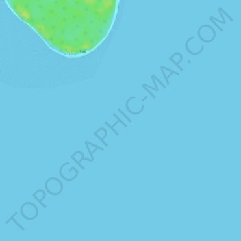
Nome: Mapa topográfico Polynesia, altitude, relevo.
Local: Polynesia, French Polynesia, France (-16.31005 -151.81005 -16.30995 -151.80995)
Altitude média: 1 m
Altitude mínima: 0 m
Altitude máxima: 16 m
Faça uma doação
Outros mapas topográficos
Clique em um mapa para visualizar sua topografia, sua altitude e seu relevo.
Faça uma doação
Faça uma doação
Tubuai
Hours of sunlight is about average for the Australs and is around 1970 hours per year, one of the lowest levels in Polynesia. The humidity is lower in contrast to Tahiti in the order of a few percent, mainly due to its higher latitude and its lower altitude (thus retaining fewer clouds).
Altitude média: 30 m
Faça uma doação
Akamaru
France > French Polynesia > Gambier
Akamaru is the third largest island in the Gambier Islands of French Polynesia. It is a small, rocky island with an area of approximately 2.6 km2 (1.0 sq mi). The island is located approximately 7 km (4.3 mi) southeast of Mangareva. Its highest point rises to an elevation of 247 m (810 ft).
Altitude média: 15 m
Faça uma doação
Faça uma doação
Ua Pou
France > French Polynesia > Marquesas Islands > Ua Pou
It is located about 50 km (30 mi.) south of Nuku Hiva, in the northern Marquesas. The center of the island is characterized by four high basalt pillars that reach high above the surrounding mountains. The highest of these pillars, Mount Oave (Mont Oave), reaches to 1,230 m (4,040 ft) above sea level and is the…
Altitude média: 127 m