
Obrigado por apoiar este site ❤️
Faça uma doação
Faça uma doação
Mapa topográfico Mekiro
Clique no mapa para exibir a altitude.
Obrigado por apoiar este site ❤️
Faça uma doação
Faça uma doação
Sobre este mapa
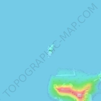
Nome: Mapa topográfico Mekiro, altitude, relevo.
Altitude média: 12 m
Altitude mínima: 0 m
Altitude máxima: 242 m
Obrigado por apoiar este site ❤️
Faça uma doação
Faça uma doação
Outros mapas topográficos
Clique em um mapa para visualizar sua topografia, sua altitude e seu relevo.
Akamaru
France > French Polynesia > Gambier
Akamaru is the third largest island in the Gambier Islands of French Polynesia. It is a small, rocky island with an area of approximately 2.6 km2 (1.0 sq mi). The island is located approximately 7 km (4.3 mi) southeast of Mangareva. Its highest point rises to an elevation of 247 m (810 ft).
Altitude média: 15 m