
Obrigado por apoiar este site ❤️
Faça uma doação
Faça uma doação
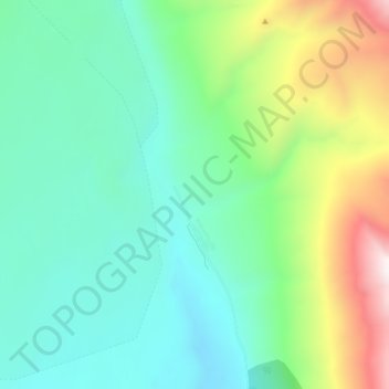
Mapa topográfico Kennicott
Clique no mapa para exibir a altitude.
Obrigado por apoiar este site ❤️
Faça uma doação
Faça uma doação
Kennicott
Topographic map showing the location of the Erie, Jumbo, Mother Lode, Bonanza and Glacier Mines in relation to Kennecott. Note the aerial tramways and haulage tunnels.
Obrigado por apoiar este site ❤️
Faça uma doação
Faça uma doação
Sobre este mapa
Nome: Mapa topográfico Kennicott, altitude, relevo.
Local: Kennicott, Copper River, Alaska, United States (61.46629 -142.90640 61.50629 -142.86640)
Altitude média: 789 m
Altitude mínima: 503 m
Altitude máxima: 1.569 m
Obrigado por apoiar este site ❤️
Faça uma doação
Faça uma doação
Outros mapas topográficos
Clique em um mapa para visualizar sua topografia, sua altitude e seu relevo.