Mapa topográfico Western Ghats
Clique no mapa para exibir a altitude.
Western Ghats
Geologic evidence indicates that the mountains were formed during the break-up of the supercontinent of Gondwana. The mountains came along the west coast of India somewhere in the late Jurassic and early Cretaceous periods when India separated from the African continent. The mountains can be roughly divided into three parts: the northern section with an elevation ranging from 900–1,500 m (3,000–4,900 ft), the middle section starting from the south of Goa with a lower elevation of less than 900 m (3,000 ft), and the southern section where the altitude rises again. The Western Ghats have several peaks that rise above 2,000 m (6,600 ft), with Anamudi (2,695 m (8,842 ft)) being the highest peak. The average elevation is around 1,200 m (3,900 ft).
Sobre este mapa
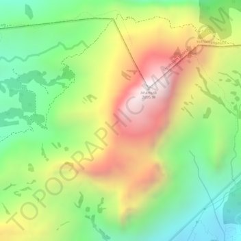
Nome: Mapa topográfico Western Ghats, altitude, relevo.
Local: Western Ghats, Devikulam, Idukki, Kerala, 685614, India (10.16595 77.05795 10.16605 77.05805)
Altitude média: 2.225 m
Altitude mínima: 1.828 m
Altitude máxima: 2.685 m
Outros mapas topográficos
Clique em um mapa para visualizar sua topografia, sua altitude e seu relevo.