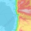
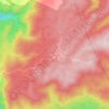
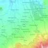
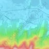
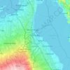
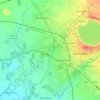
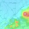
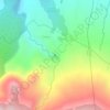
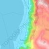
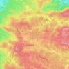
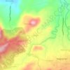
Mapa topográfico Majayjay
Clique no mapa para exibir a altitude.
Majayjay
Majayjay is situated in the southernmost part of Laguna. It nestles at the foot of Mt. Banahaw, and due to its higher altitude at some 2,700+ ft above sea level, the town makes for a popular vacation destination during summer in the Philippines. It was once branded as the 'Summer Capital of the Philippines' 300–400 years ago during the Spanish era, when most of the prominent names in the Spanish colonial Philippines visited the area. Other sights along the streets include the remnants of the said era of Spanish-inspired houses that still stand at periodic key locations, mostly in the town square. Affluent families still have their ancestral houses maintained.
Sobre este mapa

Nome: Mapa topográfico Majayjay, altitude, relevo.
Local: Majayjay, Laguna, Calabarzon, Philippines (14.06786 121.43648 14.19532 121.51789)
Altitude média: 488 m
Altitude mínima: 43 m
Altitude máxima: 2.136 m
Outros mapas topográficos
Clique em um mapa para visualizar sua topografia, sua altitude e seu relevo.