Mapa topográfico Waldulm
Clique no mapa para exibir a altitude.
Sobre este mapa
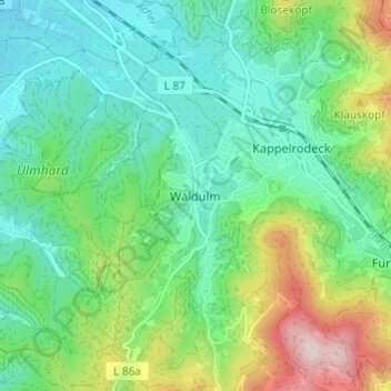
Nome: Mapa topográfico Waldulm, altitude, relevo.
Altitude média: 287 m
Altitude mínima: 164 m
Altitude máxima: 592 m
Outros mapas topográficos
Clique em um mapa para visualizar sua topografia, sua altitude e seu relevo.





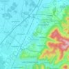
Lauf
Germany > Baden-Württemberg > Ortenaukreis
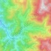
The geographical feature that provides the name to Lauf is the Laufbach stream. This body of water originates from the northwestern side of the Hornisgrinde, subsequently flowing past Glashütte and eventually reaching Lauf. Its rapid descent forms a distinctive feature of the local topography.
Altitude média: 297 m
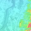
Kappel-Grafenhausen
Germany > Baden-Württemberg > Ortenaukreis
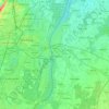
Kappel-Grafenhausen (Low Alemannic: Kabbl-Groffähüüsä) is a town in the district of Ortenau in Baden-Württemberg in Germany, within the administrative region of Freiburg. Nestled between the Black Forest and the Vosges Mountains. The village spans about 2,600 hectares, which includes residential,…
Altitude média: 181 m