
Obrigado por apoiar este site ❤️
Faça uma doação
Faça uma doação
Mapa topográfico Wanship
Clique no mapa para exibir a altitude.
Obrigado por apoiar este site ❤️
Faça uma doação
Faça uma doação
Sobre este mapa
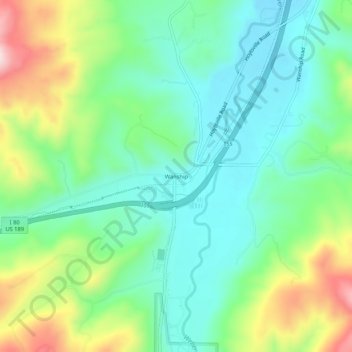
Nome: Mapa topográfico Wanship, altitude, relevo.
Local: Wanship, Summit County, Utah, United States (40.79176 -111.42734 40.83176 -111.38734)
Altitude média: 1.870 m
Altitude mínima: 1.762 m
Altitude máxima: 2.107 m
Obrigado por apoiar este site ❤️
Faça uma doação
Faça uma doação
Outros mapas topográficos
Clique em um mapa para visualizar sua topografia, sua altitude e seu relevo.
Oakley
United States > Utah > Summit County
Oakley is located 45 miles (72 km) east of Salt Lake City on SR-32, in the Kamas Valley. With an elevation of 6,500 feet (2,000 m), it is a gateway to the Uinta Mountains. Scenic route Weber Canyon Road follows the Weber River to its headwaters; it also follows the Smith and Morehouse Creek to its reservoir in…
Altitude média: 2.047 m
Obrigado por apoiar este site ❤️
Faça uma doação
Faça uma doação