
Faça uma doação
Mapa topográfico Cuyo
Clique no mapa para exibir a altitude.
Faça uma doação
Cuyo
Cuyo Island is the largest island of the Cuyo Archipelago, about 13 kilometres (8.1 mi) long, 7.5 kilometres (4.7 mi) wide, and with an area of 57 square kilometres (22 sq mi). Mount Bonbon with an elevation of 817 ft (249 m) is the highest mountain in Cuyo island. The Island is under the jurisdiction of the municipalities of Cuyo and Magsaysay. The poblacion of Cuyo is home to a Spanish fort, which shelters a church and a convent in its high stone walls..
Faça uma doação
Sobre este mapa
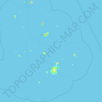
Nome: Mapa topográfico Cuyo, altitude, relevo.
Local: Cuyo, Palawan, Mimaropa, 5318, Philippines (10.55793 120.47158 11.45374 121.20733)
Altitude média: 0 m
Altitude mínima: -1 m
Altitude máxima: 246 m
Faça uma doação
Outros mapas topográficos
Clique em um mapa para visualizar sua topografia, sua altitude e seu relevo.
Faça uma doação
Faça uma doação
Kalayaan
Philippines > Palawan > Kalayaan
The islets that comprise the municipality are generally flat. The highest ground elevation is approximately two meters above sea level.
Altitude média: 0 m
Faça uma doação
Faça uma doação
Faça uma doação
Faça uma doação