
Mapa topográfico Burr Well
Clique no mapa para exibir a altitude.
Sobre este mapa
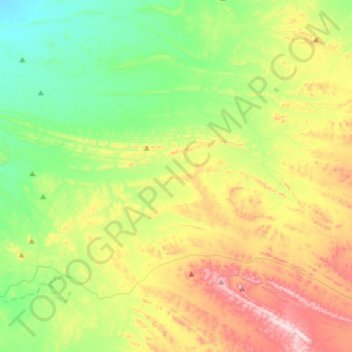
Nome: Mapa topográfico Burr Well, altitude, relevo.
Altitude média: 394 m
Altitude mínima: 184 m
Altitude máxima: 776 m
Outros mapas topográficos
Clique em um mapa para visualizar sua topografia, sua altitude e seu relevo.
Dullingari
Australia > South Australia > Pastoral Unincorporated Area > Innamincka
Altitude média: 89 m
Bookabourdie Waterhole
Australia > South Australia > Pastoral Unincorporated Area > Innamincka
Altitude média: 44 m
Nullabor Plain
Australia > South Australia > Pastoral Unincorporated Area
One theory is that the whole area was uplifted by crustal movements in the Miocene, and since then, erosion by wind and rain has reduced its thickness. The plain has most likely never had any major defining topographic features, resulting in the extremely flat terrain across the plain today.
Altitude média: 117 m
Lyndhurst
Australia > South Australia > Pastoral Unincorporated Area > Lyndhurst
Altitude média: 133 m
Lake Macdonell
Australia > South Australia > Pastoral Unincorporated Area > Penong
Altitude média: 6 m
Mungerannie
Australia > South Australia > Pastoral Unincorporated Area > Mungerannie
Altitude média: 59 m
Leigh Creek
Australia > South Australia > Pastoral Unincorporated Area > Leigh Creek
Altitude média: 267 m
Fowlers Bay
Australia > South Australia > Pastoral Unincorporated Area > Fowlers Bay
Altitude média: 3 m