
Mapa topográfico City of Decherd Babe Ruth Ball Park
Mapa interativo
Clique no mapa para exibir a altitude.
Sobre este mapa
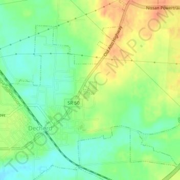
Nome: Mapa topográfico City of Decherd Babe Ruth Ball Park, altitude, relevo.
Altitude média: 300 m
Altitude mínima: 281 m
Altitude máxima: 323 m