Geolocalizar

Mapa topográfico Hogg's Pond

Mapa interativo

Clique no mapa para exibir a altitude.

Sobre este mapa

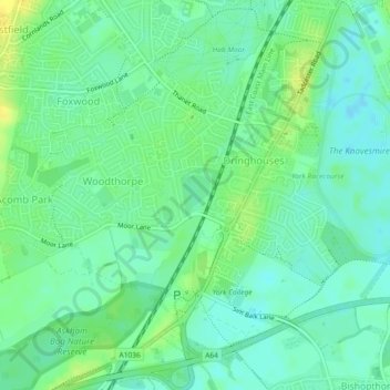
Nome: Mapa topográfico Hogg's Pond, altitude, relevo.

Local: Hogg's Pond, Chaloners Road, Woodthorpe, York, Yorkshire and the Humber, England, YO24 2TW, United Kingdom (53.93428 -1.11841 53.93713 -1.11499)

Altitude média: 14 m

Altitude mínima: 6 m

Altitude máxima: 26 m

Outros mapas topográficos

Clique em um mapa para visualizar sua topografia, sua altitude e seu relevo.

Rawcliffe

United Kingdom > England > York

Rawcliffe, York, Yorkshire and the Humber, England, United Kingdom

Altitude média: 14 m

Airedale

United Kingdom > England > York

Airedale, Wentworth Way, Heslington, York, Yorkshire and the Humber, England, YO10 5NG, United Kingdom

Altitude média: 136 m

Stock Hill

United Kingdom > England > York

Stock Hill, York, Yorkshire and the Humber, England, YO23 3PW, United Kingdom

Altitude média: 28 m