
Obrigado por apoiar este site ❤️
Faça uma doação
Faça uma doação
Mapa topográfico Beroun
Clique no mapa para exibir a altitude.
Obrigado por apoiar este site ❤️
Faça uma doação
Faça uma doação
Sobre este mapa
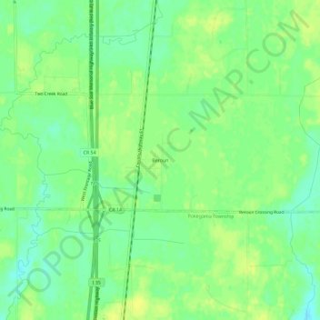
Nome: Mapa topográfico Beroun, altitude, relevo.
Local: Beroun, Pine County, Minnesota, United States (45.89023 -92.97521 45.93023 -92.93521)
Altitude média: 296 m
Altitude mínima: 286 m
Altitude máxima: 303 m
Obrigado por apoiar este site ❤️
Faça uma doação
Faça uma doação
Outros mapas topográficos
Clique em um mapa para visualizar sua topografia, sua altitude e seu relevo.
Devils Lake
United States > Minnesota > Pine County > Pine City > Pine Terrace Mobile Home Park
Altitude média: 295 m
Obrigado por apoiar este site ❤️
Faça uma doação
Faça uma doação
Obrigado por apoiar este site ❤️
Faça uma doação
Faça uma doação
Banning State Park
United States > Minnesota > Pine County
Below the rapids, the valley once again begins to widen. Away from the river valley, the topography is generally level to gently-rolling glacial till plain.
Altitude média: 338 m