
Mapa topográfico North European Plain
Mapa interativo
Clique no mapa para exibir a altitude.
Sobre este mapa
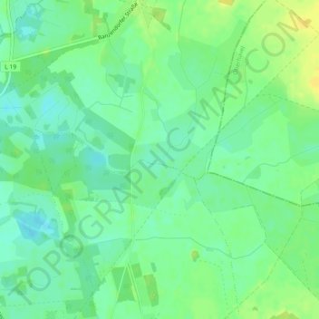
Nome: Mapa topográfico North European Plain, altitude, relevo.
Altitude média: 54 m
Altitude mínima: 44 m
Altitude máxima: 65 m
Elevations vary between 0 and 200 m (0 to about 650 ft). While mostly used as farmland, the region also contains bogs, heath and lakes. The Wadden Sea, a large tidal area, is located on the North Sea coast.