
Mapa topográfico Sulpa Islet
Mapa interativo
Clique no mapa para exibir a altitude.
Sobre este mapa
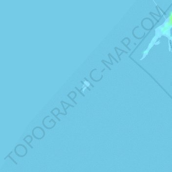
Nome: Mapa topográfico Sulpa Islet, altitude, relevo.
Local: Sulpa Islet, Lapu-Lapu, Cebu, Central Visayas, Philippines (10.23663 124.01071 10.23820 124.01180)
Altitude média: 0 m
Altitude mínima: -2 m
Altitude máxima: 7 m
Outros mapas topográficos
Clique em um mapa para visualizar sua topografia, sua altitude e seu relevo.
Olango Island
Philippines > Cebu > Lapu-Lapu
Olango Island, Lapu-Lapu, Cebu, Central Visayas, Philippines
Altitude média: 2 m
Mactan
Philippines > Cebu > Lapu-Lapu
Mactan, Lapu-Lapu, Cebu, Central Visayas, Philippines
Altitude média: 3 m
Hilutungan Sanctuary
Philippines > Cebu > Lapu-Lapu
Hilutungan Sanctuary, Simean Amodia, Pacific Grand Villas, Lapu-Lapu, Cebu, Central Visayas, 6017, Philippines
Altitude média: 0 m
Gilutongan Island
Philippines > Cebu > Lapu-Lapu
Gilutongan Island, Lapu-Lapu, Cebu, Central Visayas, Philippines
Altitude média: 0 m