
Faça uma doação
Mapa topográfico Glodok
Clique no mapa para exibir a altitude.
Faça uma doação
Sobre este mapa
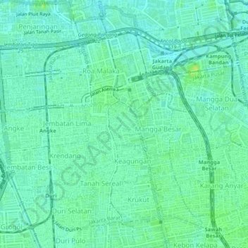
Nome: Mapa topográfico Glodok, altitude, relevo.
Altitude média: 6 m
Altitude mínima: 0 m
Altitude máxima: 15 m
Faça uma doação
Outros mapas topográficos
Clique em um mapa para visualizar sua topografia, sua altitude e seu relevo.
Faça uma doação
Jagakarsa
Indonesia > Special Capital Region of Jakarta
As one of the southernmost districts of Jakarta, Jagakarsa has a relatively higher elevation (average 52-meter above sea level) and a cooler climate than the rest of Jakarta (average 25–27-degree Celsius). Jagakarsa has been allotted for water reservoir use, resulting in low footprint for buildings in…
Altitude média: 54 m
Faça uma doação
Faça uma doação
Faça uma doação
Faça uma doação
Faça uma doação
Faça uma doação
Faça uma doação