
Mapa topográfico Kerman
Clique no mapa para exibir a altitude.
Kerman
Kerman is located on a high margin of Kavir-e Lut (Lut Desert) in the south-central part of Iran. The city is surrounded by mountains. Kerman is also located along the Saheb Al Zaman mountain. The city is 1,755 m (5,758 ft) above sea level, making it third in elevation among provincial capitals in Iran. Winter brings very cold nights to Kerman. Mountains in the south and southeast Jftan Joopar and Plvar and Kerman have snow all year round. Kerman is located at latitude 30.29 and longitude 57.06.
Sobre este mapa
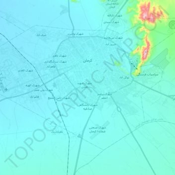
Nome: Mapa topográfico Kerman, altitude, relevo.
Altitude média: 1.784 m
Altitude mínima: 1.741 m
Altitude máxima: 2.275 m
Outros mapas topográficos
Clique em um mapa para visualizar sua topografia, sua altitude e seu relevo.