
Mapa topográfico Tian Shan
Mapa interativo
Clique no mapa para exibir a altitude.
Tian Shan
The Torugart Pass, at 3,752 metres (12,310 ft), is located at the border between Kyrgyzstan and China's Xinjiang province. The forested Alatau ranges, which are at a lower altitude in the northern part of the Tian Shan, are inhabited by pastoral tribes that speak Turkic languages.
Sobre este mapa
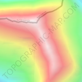
Nome: Mapa topográfico Tian Shan, altitude, relevo.
Local: Tian Shan, Wensu County, Aksu Prefecture, Xinjiang, China (42.03089 80.20056 42.03099 80.20066)
Altitude média: 6.096 m
Altitude mínima: 5.160 m
Altitude máxima: 6.790 m