
Mapa topográfico Wye National Nature Reserve
Mapa interativo
Clique no mapa para exibir a altitude.
Sobre este mapa
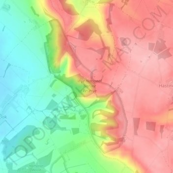
Nome: Mapa topográfico Wye National Nature Reserve, altitude, relevo.
Altitude média: 123 m
Altitude mínima: 43 m
Altitude máxima: 189 m