
Mapa topográfico Valley Center
Mapa interativo
Clique no mapa para exibir a altitude.
Sobre este mapa
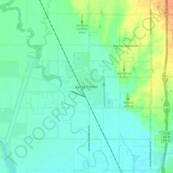
Nome: Mapa topográfico Valley Center, altitude, relevo.
Local: Valley Center, Sedgwick County, Kansas, United States (37.79473 -97.41338 37.87473 -97.33338)
Altitude média: 415 m
Altitude mínima: 405 m
Altitude máxima: 441 m