
Obrigado por apoiar este site ❤️
Faça uma doação
Faça uma doação
Mapa topográfico Cherhill
Clique no mapa para exibir a altitude.
Obrigado por apoiar este site ❤️
Faça uma doação
Faça uma doação
Sobre este mapa
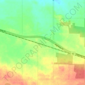
Nome: Mapa topográfico Cherhill, altitude, relevo.
Local: Cherhill, Lac Ste. Anne County, Alberta, Canada (53.80009 -114.69999 53.84009 -114.65999)
Altitude média: 727 m
Altitude mínima: 704 m
Altitude máxima: 753 m
Obrigado por apoiar este site ❤️
Faça uma doação
Faça uma doação