
Mapa topográfico Helena-West Helena
Mapa interativo
Clique no mapa para exibir a altitude.
Sobre este mapa
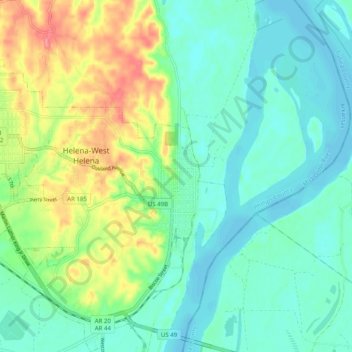
Nome: Mapa topográfico Helena-West Helena, altitude, relevo.
Altitude média: 67 m
Altitude mínima: 43 m
Altitude máxima: 124 m
The city of Helena was founded by European Americans in 1833, as a port along the Mississippi River. Crowleys Ridge provided elevation and some protection against flooding, a rare feature along the right/west bank of the lower Mississippi River.