
Mapa topográfico Gundagai
Mapa interativo
Clique no mapa para exibir a altitude.
Gundagai
Gundagai is an inland town with an elevation of 250 metres (820 ft). Almost all of the shire is located in the South West Slopes bio-region and is part of the Riverina agricultural region. The eastern part of the shire is considered part of the South Eastern Highlands bioregion.
Sobre este mapa
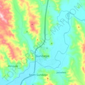
Nome: Mapa topográfico Gundagai, altitude, relevo.
Altitude média: 309 m
Altitude mínima: 208 m
Altitude máxima: 622 m