
Mapa topográfico Tseung Kwan O Waterfront Park
Mapa interativo
Clique no mapa para exibir a altitude.
Sobre este mapa
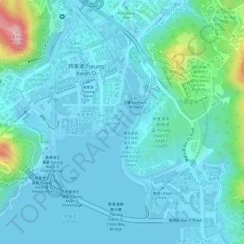
Nome: Mapa topográfico Tseung Kwan O Waterfront Park, altitude, relevo.
Altitude média: 34 m
Altitude mínima: -2 m
Altitude máxima: 218 m