
Mapa topográfico Oakley
Mapa interativo
Clique no mapa para exibir a altitude.
Sobre este mapa
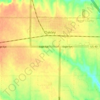
Nome: Mapa topográfico Oakley, altitude, relevo.
Altitude média: 930 m
Altitude mínima: 906 m
Altitude máxima: 942 m
Oakley is located at 39°7′41″N 100°51′16″W / 39.12806°N 100.85444°W / 39.12806; -100.85444 (39.128023, -100.854490) at an elevation of 3,064 feet (934 m). It lies roughly 1 mile (1.6 km) south of the South Fork of the Saline River in the High Plains region of the Great Plains.