

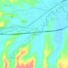
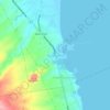
Mapa topográfico Abucay
Clique no mapa para exibir a altitude.
Abucay
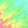
The topography of Abucay varies from the mountainous terrain of Mount Natib caldera in the west to the coastal areas of the province along the shore of Manila Bay. Six rivers with a combined length of 37 kilometres (23 mi) originate from the mountain flowing in the west-to-east direction.
Sobre este mapa
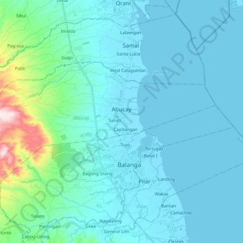
Nome: Mapa topográfico Abucay, altitude, relevo.
Local: Abucay, Bataan, Central Luzon, 2114, Philippines (14.66688 120.41937 14.75722 120.60821)
Altitude média: 70 m
Altitude mínima: 0 m
Altitude máxima: 638 m
Outros mapas topográficos
Clique em um mapa para visualizar sua topografia, sua altitude e seu relevo.






Mount Natib
Philippines > Bataan > Morong
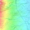
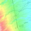
Mount Natib is a stratovolcano type of volcano topped by a 6-by-7-kilometre (3.7 by 4.3 mi) acorn-shaped Natib Caldera that is open to the northwest. East of its caldera is the smaller 2-kilometre (1.2 mi) wide Pasukulan Caldera. The highest peak of Mount Natib has an elevation of 1,253 metres (4,111 ft) asl…
Altitude média: 846 m


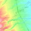

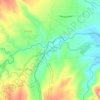
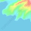
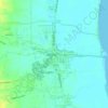




Mount Mariveles
Philippines > Bataan > Mariveles
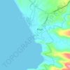
Mount Mariveles is a massive stratovolcano topped with a 4-kilometre (2.5 mi) summit caldera which drains to the north. The highest peak, called Mariveles, has an elevation of 1,388 metres (4,554 ft) asl. Mounts Pantingan, Bataan, Tarak, and Vintana are the other peaks of the volcano-caldera complex, which has…
Altitude média: 879 m










Mount Natib
Philippines > Bataan > Morong
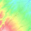
Mount Natib is a stratovolcano type of volcano topped by a 6-by-7-kilometre (3.7 by 4.3 mi) acorn-shaped Natib Caldera that is open to the northwest. East of its caldera is the smaller 2-kilometre (1.2 mi) wide Pasukulan Caldera. The highest peak of Mount Natib has an elevation of 1,253 metres (4,111 ft) asl…
Altitude média: 846 m