
Mapa topográfico La Grange
Mapa interativo
Clique no mapa para exibir a altitude.
La Grange
La Grange is located at 41°48′29″N 87°52′24″W / 41.80806°N 87.87333°W / 41.80806; -87.87333 (41.807938, -87.873455), about 13 miles (21 km) west of Chicago. The village is roughly flat, only deviating from the elevation of 645 feet by at most ten feet. La Grange is surrounded by incorporated places of similar sizes on all sides except to the South West, where the generously-named La Grange Highlands are.
Sobre este mapa
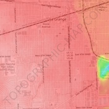
Nome: Mapa topográfico La Grange, altitude, relevo.
Local: La Grange, Cook County, Illinois, United States of America (41.79017 -87.88943 41.82007 -87.85919)
Altitude média: 199 m
Altitude mínima: 99 m
Altitude máxima: 210 m