
Mapa topográfico Rhienderen
Mapa interativo
Clique no mapa para exibir a altitude.
Sobre este mapa
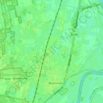
Nome: Mapa topográfico Rhienderen, altitude, relevo.
Local: Rhienderen, Brummen, Gelderland, Netherlands, 6971, Netherlands (52.07958 6.13420 52.11958 6.17420)
Altitude média: 9 m
Altitude mínima: 3 m
Altitude máxima: 14 m