
Faça uma doação
Mapa topográfico Camelback Mountain
Clique no mapa para exibir a altitude.
Faça uma doação
Camelback Mountain
Efforts to protect Camelback Mountain as a natural preserve began in the early 1910s. However, by the 1960s, nearly all of the area had been sold to private interests. Federal and state authorities attempted to stop development above the one thousand and six hundred feet level. They failed to halt development and in 1963 efforts to arrange a land exchange failed in the Arizona State legislature. In 1965, United States Senator Barry Goldwater took up the cause and helped to secure the higher elevations against development. The area became a Phoenix city park in 1968.
Faça uma doação
Sobre este mapa
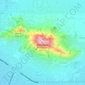
Nome: Mapa topográfico Camelback Mountain, altitude, relevo.
Altitude média: 462 m
Altitude mínima: 389 m
Altitude máxima: 798 m
Faça uma doação
Outros mapas topográficos
Clique em um mapa para visualizar sua topografia, sua altitude e seu relevo.