Mapa topográfico Knott End
Clique no mapa para exibir a altitude.
Sobre este mapa
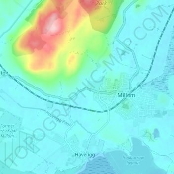
Nome: Mapa topográfico Knott End, altitude, relevo.
Altitude média: 32 m
Altitude mínima: -3 m
Altitude máxima: 191 m

Clique no mapa para exibir a altitude.
Nome: Mapa topográfico Knott End, altitude, relevo.
Altitude média: 32 m
Altitude mínima: -3 m
Altitude máxima: 191 m