Mapa topográfico Atta-Höhle
Mapa interativo
Clique no mapa para exibir a altitude.
Sobre este mapa
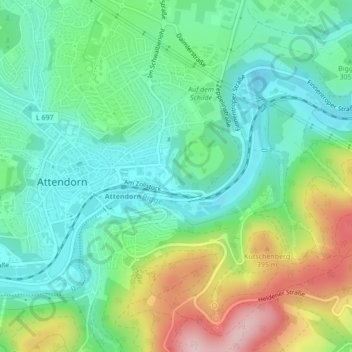
Nome: Mapa topográfico Atta-Höhle, altitude, relevo.
Altitude média: 312 m
Altitude mínima: 241 m
Altitude máxima: 465 m

Clique no mapa para exibir a altitude.
Nome: Mapa topográfico Atta-Höhle, altitude, relevo.
Altitude média: 312 m
Altitude mínima: 241 m
Altitude máxima: 465 m