
Mapa topográfico Cartier Island
Mapa interativo
Clique no mapa para exibir a altitude.
Sobre este mapa
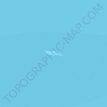
Nome: Mapa topográfico Cartier Island, altitude, relevo.
Local: Cartier Island, Ashmore and Cartier Islands, Australia (-12.53136 123.55272 -12.52995 123.55748)
Altitude média: 0 m
Altitude mínima: -1 m
Altitude máxima: 0 m
Outros mapas topográficos
Clique em um mapa para visualizar sua topografia, sua altitude e seu relevo.
Ashmore Reef
Australia > Ashmore and Cartier Islands
Ashmore Reef, Ashmore and Cartier Islands, Australia
Altitude média: 0 m