
Mapa topográfico Lutterzand
Mapa interativo
Clique no mapa para exibir a altitude.
Sobre este mapa
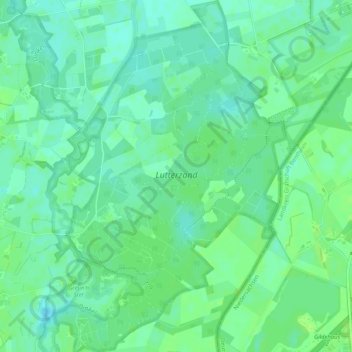
Nome: Mapa topográfico Lutterzand, altitude, relevo.
Altitude média: 30 m
Altitude mínima: 24 m
Altitude máxima: 36 m
Outros mapas topográficos
Clique em um mapa para visualizar sua topografia, sua altitude e seu relevo.
Tankenberg
Nederland > Overijssel > De Lutte
Tankenberg, de Lutte, Losser, Overijssel, Nederland, 7587 MK, Nederland
Altitude média: 58 m