
Faça uma doação
Mapa topográfico Tobacco Patch
Clique no mapa para exibir a altitude.
Faça uma doação
Sobre este mapa
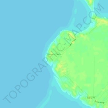
Nome: Mapa topográfico Tobacco Patch, altitude, relevo.
Local: Tobacco Patch, Polk County, Texas, United States (30.70325 -95.12410 30.74325 -95.08410)
Altitude média: 43 m
Altitude mínima: 39 m
Altitude máxima: 54 m
Faça uma doação
Outros mapas topográficos
Clique em um mapa para visualizar sua topografia, sua altitude e seu relevo.
Lake Livingston
United States > Texas > Polk County
The earthfill dam has a concrete spillway and was designed by Brown and Root, Incorporated (now KBR, Inc). The dam has a spillway crest elevation of 99 feet (30 m) above mean sea level. The average base width of the dam's earthen embankment is 310 feet (94 m) wide. The spillway is designed and constructed to…
Altitude média: 66 m
Onalaska
United States > Texas > Polk County
The city's terrain is characterized by gently rolling hills and piney woods typical of the East Texas Timberlands region. Elevations within Onalaska range from approximately 128 feet (39 m) to 253 feet (77 m) above sea level, with an average elevation around 161 feet (49 m).
Altitude média: 49 m
Faça uma doação
Lake Livingston
United States > Texas > Polk County
The earthfill dam has a concrete spillway and was designed by Brown and Root, Incorporated (now KBR, Inc). The dam has a spillway crest elevation of 99 feet (30 m) above mean sea level. The average base width of the dam's earthen embankment is 310 feet (94 m) wide. The spillway is designed and constructed to…
Altitude média: 66 m
Faça uma doação