
Obrigado por apoiar este site ❤️
Faça uma doação
Faça uma doação
Mapa topográfico Shooks
Clique no mapa para exibir a altitude.
Obrigado por apoiar este site ❤️
Faça uma doação
Faça uma doação
Sobre este mapa
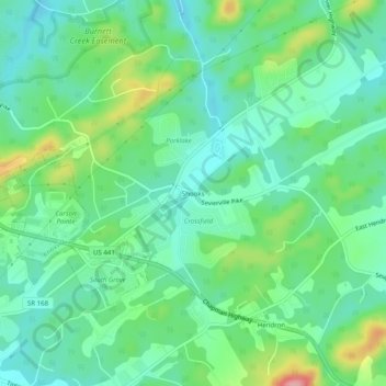
Nome: Mapa topográfico Shooks, altitude, relevo.
Altitude média: 293 m
Altitude mínima: 254 m
Altitude máxima: 390 m
Obrigado por apoiar este site ❤️
Faça uma doação
Faça uma doação
Outros mapas topográficos
Clique em um mapa para visualizar sua topografia, sua altitude e seu relevo.
Karns
United States > Tennessee > Knox County
Karns is located in the Beaver Creek Valley between Beaver Ridge and Copper Ridge, both of which are elongate ridges typical of the Ridge-and-Valley Appalachians. The center of the community is located at 35°58′55″N 84°06′50″W / 35.98194°N 84.11389°W / 35.98194; -84.11389 (35.982,…
Altitude média: 314 m
Obrigado por apoiar este site ❤️
Faça uma doação
Faça uma doação