
Mapa topográfico Julianstown
Clique no mapa para exibir a altitude.
Sobre este mapa
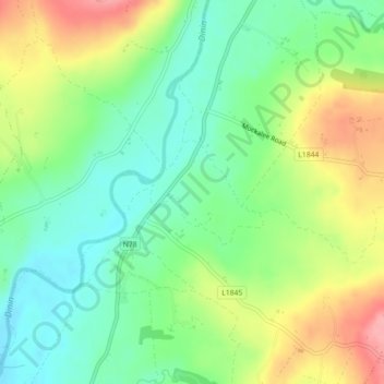
Nome: Mapa topográfico Julianstown, altitude, relevo.
Altitude média: 120 m
Altitude mínima: 79 m
Altitude máxima: 184 m
Outros mapas topográficos
Clique em um mapa para visualizar sua topografia, sua altitude e seu relevo.
Brandon Hill
Brandon Hill (Irish: Cnoc Bhréanail) is the highest mountain in County Kilkenny, Ireland, with an elevation of 515 m (1,690 ft) and prominence at 448 m (1,470 ft). The South Leinster Way, a long-distance trail, meandering through the Barrow Valley and traverses Brandon Hill. The village of Graiguenamanagh and…
Altitude média: 294 m