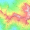
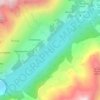
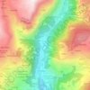
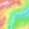
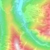
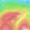
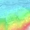
Mapa topográfico Saint-Vincent
Clique no mapa para exibir a altitude.
Saint-Vincent
Saint-Vincent (Valdôtain: Sèn-Veuncein; Issime Walser: Finze) is a town and comune in the Aosta Valley region of north-western Italy. Saint-Vincent, elevation 575 metres (1,886 ft), is a popular summer holiday resort with mineral springs.
Sobre este mapa
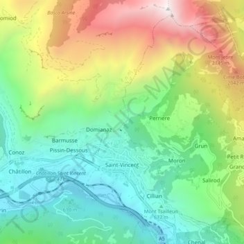
Nome: Mapa topográfico Saint-Vincent, altitude, relevo.
Local: Saint-Vincent, Aosta Valley, 11027, Italy (45.73476 7.63113 45.78668 7.71547)
Altitude média: 1.179 m
Altitude mínima: 411 m
Altitude máxima: 2.704 m
Outros mapas topográficos
Clique em um mapa para visualizar sua topografia, sua altitude e seu relevo.
Pila
There are more than 24 pistes (>70 km total length), including 4 blue runs, 29 red runs and 4 black runs, with a pipe zone and a slopestyle zone. There is one cable car, 3 gondolas, 8 chairlifts and 5 conveyors. The resort itself is at 1,814 metres altitude, while the highest skiing can be done at 2,700m.
Altitude média: 1.817 m