
Obrigado por apoiar este site ❤️
Faça uma doação
Faça uma doação
Mapa topográfico Pyrenees
Clique no mapa para exibir a altitude.
Obrigado por apoiar este site ❤️
Faça uma doação
Faça uma doação
Pyrenees
In the Western Pyrenees, from the Basque mountains near the Bay of Biscay of the Atlantic Ocean, the average elevation gradually increases from west to east.
Obrigado por apoiar este site ❤️
Faça uma doação
Faça uma doação
Sobre este mapa
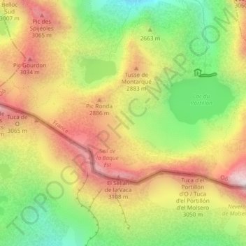
Nome: Mapa topográfico Pyrenees, altitude, relevo.
Altitude média: 2.716 m
Altitude mínima: 2.265 m
Altitude máxima: 3.168 m
Obrigado por apoiar este site ❤️
Faça uma doação
Faça uma doação