
Obrigado por apoiar este site ❤️
Faça uma doação
Faça uma doação
Mapa topográfico Ranipur
Clique no mapa para exibir a altitude.
Obrigado por apoiar este site ❤️
Faça uma doação
Faça uma doação
Sobre este mapa
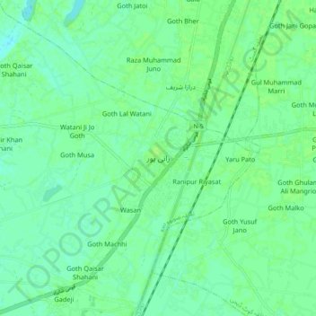
Nome: Mapa topográfico Ranipur, altitude, relevo.
Altitude média: 52 m
Altitude mínima: 47 m
Altitude máxima: 55 m
Obrigado por apoiar este site ❤️
Faça uma doação
Faça uma doação
Outros mapas topográficos
Clique em um mapa para visualizar sua topografia, sua altitude e seu relevo.
Nara Canal
Left Bank Outfall Drain to the west of Nara Canal, built much later (starting in the 1960s and 80s) than Nara Canal, the LBOD was designed to solve the waterlogging and salinity problems caused by intensive irrigation from canals like the Nara. It collects salty groundwater and industrial/agricultural waste…
Altitude média: 37 m