
Mapa topográfico Minster
Clique no mapa para exibir a altitude.
Sobre este mapa
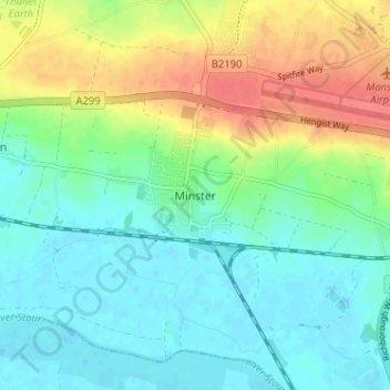
Nome: Mapa topográfico Minster, altitude, relevo.
Altitude média: 19 m
Altitude mínima: -2 m
Altitude máxima: 55 m
Outros mapas topográficos
Clique em um mapa para visualizar sua topografia, sua altitude e seu relevo.
Stour
United Kingdom > England > Kent > Thanet District
The source, of what is known at that point as the Great Stour, is near the village of Lenham, within a short distance of the River Len, a tributary of the Medway. The source is at a high elevation close to the North Downs escarpment. At first the river flows south east in a narrow valley parallel to the…
Altitude média: 7 m