
Mapa topográfico Mount Aso
Clique no mapa para exibir a altitude.
Mount Aso
With an elevation of 1,143 metres (3,750 ft)., Mount Aso has a climate that falls as humid continental (Köppen climate classification "Dfb"), with warm summers and cold winters. Precipitation is high throughout the year, which brings the area to have borderline subtropical characteristics as well. It is particularly heavy in June and July, when over 500 millimetres (20 in) of rain fell in each month.
Sobre este mapa
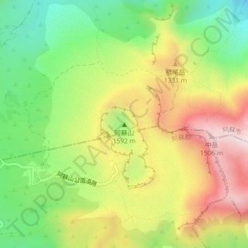
Nome: Mapa topográfico Mount Aso, altitude, relevo.
Local: Mount Aso, Minamiaso, Aso County, Kumamoto Prefecture, Japan (32.88265 131.09469 32.88275 131.09479)
Altitude média: 1.254 m
Altitude mínima: 882 m
Altitude máxima: 1.587 m