
Obrigado por apoiar este site ❤️
Faça uma doação
Faça uma doação
Mapa topográfico Minnesota Valley State Recreation Area
Clique no mapa para exibir a altitude.
Obrigado por apoiar este site ❤️
Faça uma doação
Faça uma doação
Sobre este mapa
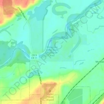
Nome: Mapa topográfico Minnesota Valley State Recreation Area, altitude, relevo.
Altitude média: 224 m
Altitude mínima: 208 m
Altitude máxima: 259 m
Obrigado por apoiar este site ❤️
Faça uma doação
Faça uma doação
Outros mapas topográficos
Clique em um mapa para visualizar sua topografia, sua altitude e seu relevo.
Prior Lake
United States > Minnesota > Scott County > Prior Lake > Prior Lake
The eastern portion of Spring Lake along Scott County Road 12 is also located within the City of Prior Lake. Spring Lake, with 290 acres, but being a few minutes further out from the metro area offers similar recreational opportunities as Upper Prior Lake with a more rural character and less traffic. Spring…
Altitude média: 289 m
Obrigado por apoiar este site ❤️
Faça uma doação
Faça uma doação
Obrigado por apoiar este site ❤️
Faça uma doação
Faça uma doação