
Mapa topográfico Alpine
Clique no mapa para exibir a altitude.
Alpine
It sits on both sides of Interstate 8 at the eastern extent of the California coastal region and the western extent of the Peninsular Ranges, about 30 miles east of downtown San Diego, at an elevation of about 2,000 feet.
Sobre este mapa
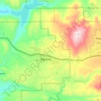
Nome: Mapa topográfico Alpine, altitude, relevo.
Local: Alpine, San Diego County, California, 91901, United States (32.79892 -116.81959 32.88910 -116.69466)
Altitude média: 581 m
Altitude mínima: 170 m
Altitude máxima: 1.272 m