
Obrigado por apoiar este site ❤️
Faça uma doação
Faça uma doação
Mapa topográfico Kazerun
Clique no mapa para exibir a altitude.
Obrigado por apoiar este site ❤️
Faça uma doação
Faça uma doação
Kazerun
Shapur Cave is located at an altitude of 800 meters above the ground and the statue of Shapur I, the Sassanid king, is located at a height of 7 meters at its entrance. This statue is considered the biggest statue of ancient Iran. Shapur cave is also included in the list of world Heritage Sites.
Obrigado por apoiar este site ❤️
Faça uma doação
Faça uma doação
Sobre este mapa
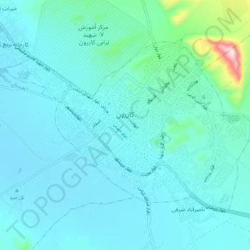
Nome: Mapa topográfico Kazerun, altitude, relevo.
Altitude média: 868 m
Altitude mínima: 808 m
Altitude máxima: 1.332 m
Obrigado por apoiar este site ❤️
Faça uma doação
Faça uma doação
Outros mapas topográficos
Clique em um mapa para visualizar sua topografia, sua altitude e seu relevo.