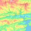
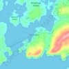
Mapa topográfico Cork
Clique no mapa para exibir a altitude.
Cork
The climate of Cork, like the majority of Ireland, is mild oceanic (Cfb in the Köppen climate classification) and changeable with abundant rainfall and a lack of temperature extremes. Cork lies in plant Hardiness zone 9b. Met Éireann maintains a climatological weather station at Cork Airport, a few kilometres south of the city centre. The airport is at an altitude of 151 metres (495 ft) and temperatures can often differ by a few degrees between the airport and the rest of the city. There are also smaller synoptic weather stations at UCC and Clover Hill. Due to its position on the coast, Cork city is subject to occasional flooding.
Sobre este mapa
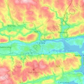
Nome: Mapa topográfico Cork, altitude, relevo.
Local: Cork, County Cork, Munster, Ireland (51.82731 -8.63785 51.97014 -8.35513)
Altitude média: 79 m
Altitude mínima: -3 m
Altitude máxima: 197 m
Outros mapas topográficos
Clique em um mapa para visualizar sua topografia, sua altitude e seu relevo.



























Watergrasshill
According to A Topographical Dictionary of Ireland, published by Samuel Lewis in 1837, Watergrasshill then had a population of 533 people.
Altitude média: 164 m