
Mapa topográfico St. Ingbert-Mitte
Mapa interativo
Clique no mapa para exibir a altitude.
Sobre este mapa
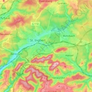
Nome: Mapa topográfico St. Ingbert-Mitte, altitude, relevo.
Altitude média: 292 m
Altitude mínima: 202 m
Altitude máxima: 407 m
Outros mapas topográficos
Clique em um mapa para visualizar sua topografia, sua altitude e seu relevo.
Sengscheid
Deutschland > Saarland > St. Ingbert
Sengscheid, St. Ingbert, Saarpfalz-Kreis, Saarland, Deutschland
Altitude média: 303 m