
Mapa topográfico Mangateretere
Mapa interativo
Clique no mapa para exibir a altitude.
Sobre este mapa
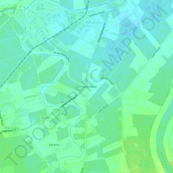
Nome: Mapa topográfico Mangateretere, altitude, relevo.
Altitude média: 9 m
Altitude mínima: 4 m
Altitude máxima: 16 m
Outros mapas topográficos
Clique em um mapa para visualizar sua topografia, sua altitude e seu relevo.
Twyford
New Zealand > Hawke's Bay > Hastings District > Hastings
Twyford, Hastings, Hastings District, Hawke's Bay, 4154, New Zealand
Altitude média: 19 m
Matangi
New Zealand > Hawke's Bay > Hastings District > Hastings
Matangi, Hastings, Hastings District, Hawke's Bay, 4295, New Zealand
Altitude média: 187 m