
Mapa topográfico Tharandt
Mapa interativo
Clique no mapa para exibir a altitude.
Sobre este mapa
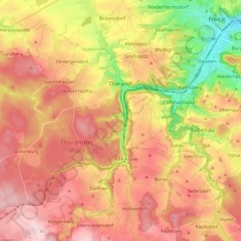
Nome: Mapa topográfico Tharandt, altitude, relevo.
Altitude média: 340 m
Altitude mínima: 157 m
Altitude máxima: 479 m
In der DDR-Zeit war die Stadt ein Zentrum der Umweltschutzbewegung im späteren Umweltbildungshaus Johannishöhe.