
Mapa topográfico Mojave
Clique no mapa para exibir a altitude.
Mojave
Mojave (formerly Mohave) is an unincorporated community in Kern County, California, United States. Mojave is located 50 miles (80 km) east of Bakersfield, and 100 miles (161 km) north of Los Angeles, at an elevation of 2,762.46 feet (842.00 m). The town is located in the western region of the Mojave Desert, below and east of Oak Creek Pass and the Tehachapi Mountains. Mojave is on the Pacific Crest Trail.
Sobre este mapa
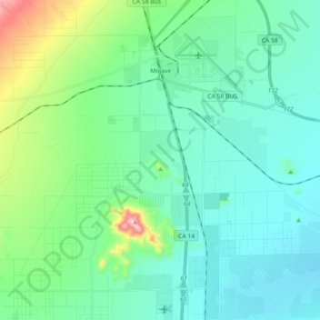
Nome: Mapa topográfico Mojave, altitude, relevo.
Local: Mojave, Kern County, California, United States (34.93736 -118.25786 35.08440 -118.10427)
Altitude média: 877 m
Altitude mínima: 764 m
Altitude máxima: 1.400 m