
Obrigado por apoiar este site ❤️
Faça uma doação
Faça uma doação
Mapa topográfico Singur
Clique no mapa para exibir a altitude.
Obrigado por apoiar este site ❤️
Faça uma doação
Faça uma doação
Singur
Singur is located at 22°49′N 88°14′E / 22.81°N 88.23°E / 22.81; 88.23. It has an average elevation of 14 metres (45 ft), and is situated on the Ganges delta.
Obrigado por apoiar este site ❤️
Faça uma doação
Faça uma doação
Sobre este mapa
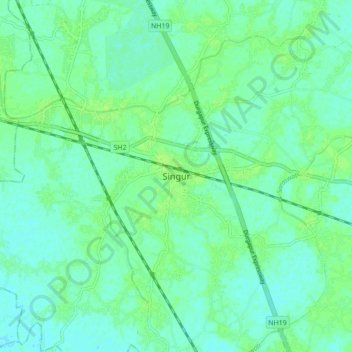
Nome: Mapa topográfico Singur, altitude, relevo.
Local: Singur, Hugli, West Bengal, 712409, India (22.77304 88.18836 22.85304 88.26836)
Altitude média: 9 m
Altitude mínima: 4 m
Altitude máxima: 14 m
Obrigado por apoiar este site ❤️
Faça uma doação
Faça uma doação