
Mapa topográfico Mariana Islands
Mapa interativo
Clique no mapa para exibir a altitude.
Sobre este mapa
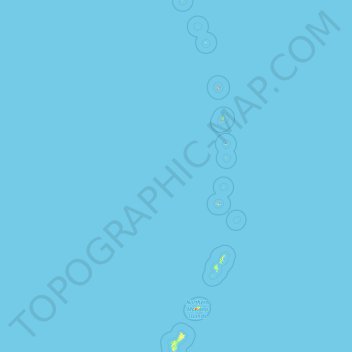
Nome: Mapa topográfico Mariana Islands, altitude, relevo.
Altitude média: 0 m
Altitude mínima: 0 m
Altitude máxima: 874 m
The island chain geographically consists of two subgroups, a northern group of ten volcanic main islands, all are currently uninhabited; and a southern group of five coralline limestone islands (Rota, Guam, Aguijan, Tinian and Saipan), all inhabited except Aguijan. In the northern volcanic group a maximum elevation of about 2,700 feet (820 m) is reached; there are craters showing signs of activity, and earthquakes are not uncommon. Coral reefs fringe the coasts of the southern isles, which are of slight elevation.
Outros mapas topográficos
Clique em um mapa para visualizar sua topografia, sua altitude e seu relevo.
Guam
United States > Guam > Chalan Pago-Ordot Municipality
Guam, Chalan Pago-Ordot Municipality, Guam, United States
Altitude média: 26 m